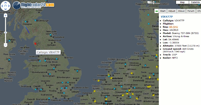
Flightradar24.com shows live aircraft traffic in the airspace above Europe, of which there has been very little over the past few days. It is a mashup of Google Maps, airport locations, broadcast air traffic data and photos of some of the aircraft.
It uses data a flight information system called ADS-B (Automatic Dependent Surveillance-Broadcast) and this data is provided by a network of 100 volunteers equipped with ADS-B receivers, most of whom are in Europe. Not all aircraft are picked up; only about 60% of passenger planes and only a few military and private planes have an ADS-B transponder. A list of aircraft models that are visible and those that are not can be found at http://www.flightradar24.com/about.php.
Major airports are marked on the map with a blue cross and the position of airplanes with – erm – airplane icons.


Click on a plane and the path that it has taken is displayed. The colour of the trail behind the plane shows the altitude the aircraft had at that position. (An explanation of the trail colours is at http://www.flightradar24.com/about.php).
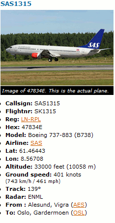
Additional information on the flight appears on the right of the screen and includes – when available – flight number, airline, the type of plane, altitude, speed, where the flight took off and destination. For many of the Scandinavian airlines’ planes there are also photos and for some planes you can view their recent flight history.
On a technical note this site relies heavily on the use of javascript so to get the best out of this site users are advised to use Firefox or Google Chrome.
Other issues to bear in mind are that even for Europe coverage is not 100% and, most important of all, it is seriously addictive!